Geography of Chile

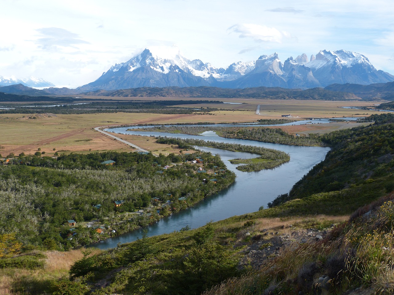
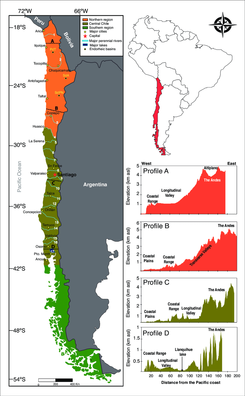
Chile ranges from 17 degrees south to 56 degrees south longitude making it 2,653 miles long with over 4,000 miles of coastline but only 110 miles wide on average. It is the longest and narrowest country in the world bordered by the Andes Mountains to the east and the Pacific Ocean to the west with a smaller coastal mountain range. It is 292,000 square miles making it a bit bigger by 22,000 square miles of the state of Texas.
Chile has over 3,700 rivers with the Los Lagos Region having the most with 755. Most of the rivers originate in the Andes and with typically only 100 miles to reach the ocean they are steep and turbulent and often not navigable. Most of the rivers north of Santiago are fed by seasonal rains and usually dry up in the summer. Rivers of the central region are more regular with heavier winter rains. Some are dammed for hydroelectric. Most notably is the Bio Bio River in the region of the same name.
Despite what you may think about Chile having so many volcanoes, the USA has almost double the amount! The USA has 165 active volcanoes while Chile has only 91. Active means it has erupted in the last 10,000. Most of Chile's 2000 volcanoes are extinct. Check out this link to see which volcanoes are active and see the live webcams! https://rnvv.sernageomin.cl/
The Ultimate Guide to Immigrating to Chile 3rd Ed.
The Andes mountain range is a relatively young range built by the Nazca plate pushing up under the South American plate. This has caused the Peru-Chile Trench which plunges down to 26,000 feet 100 miles off the coast of the northern Chilean city of Antofagasta. Chile lies at the edge of a deep precipice! To the east of Antofagasta is the Ojos del Salado, the highest volcano in Chile at 22,615 feet. So within 200 miles Chile goes from 22,615 feet above sea level and plunges down to 26,000 feet below sea-level. That's a 9 mile plunge!
But despite all the plunging, Chile has a fairly level central valley which runs from north to south the whole length of the country. This valley is very fertile with deep rich volcanic soil that supports a large agricultural economy that exports fresh fruit, nuts, and vegetables all over the world.
The central valley runs into the sea at Puerto Montt where it becomes the islands and fjords of Patagonia. Chile has over 40,000 islands culminating in the Cabo de Horno or Cape Horn, a group of small islands at the end of the continent.
The map below is courtesy of Eugenia M. Gayo at researchgate.net
